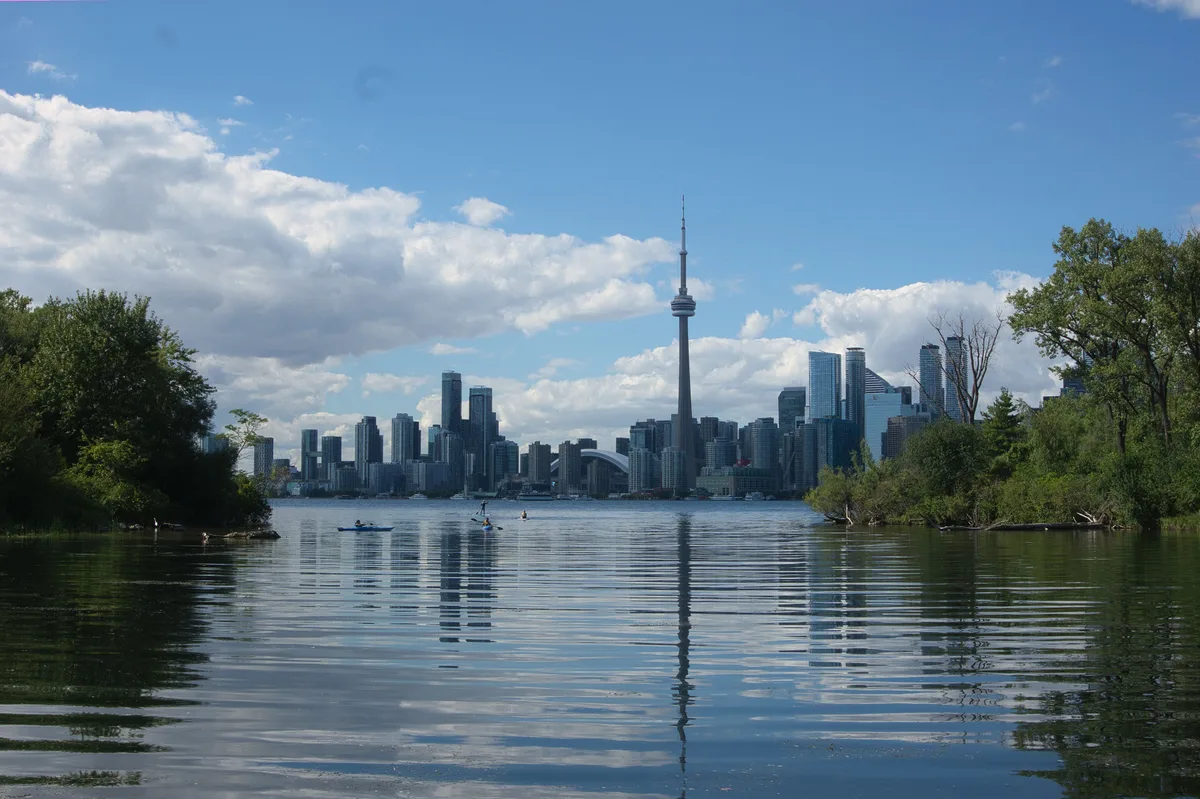
Downtown, seen from the far side
The whole city lines up in front of you. From the island side of the inner harbour, downtown Toronto stands in one long row of glass and concrete. The CN Tower rises 553 metres out of the middle, with the white dome of the Rogers Centre at its foot. The bank towers of the Financial District crowd in to the right.
Between you and all of it is open water, crossed by ferries, sailboats and water taxis. Nothing blocks the view. That explains why this ferry-dock pin has become one of the most photographed spots in Toronto, and why it is consistently well rated by people who make the crossing.
It is well known, so expect company. You won’t have it to yourself, but the shoreline is long and there is room to spread out.
Crossing from Jack Layton Ferry Terminal
The crossing is half the experience. City-run ferries leave from Jack Layton Ferry Terminal on Queens Quay, at the foot of Bay Street. The terminal sits beside Harbour Square Park, next to the Westin Harbour Castle.
To get there by transit:
- Take Line 1 (Yonge–University) to Union Station.
- Walk south on Bay Street, under the rail corridor and the Gardiner Expressway, to Queens Quay. It takes roughly 10–15 minutes.
- The streetcars along Queens Quay also stop near the foot of Bay.
Ferries run to three island docks: Centre Island, Ward’s Island and Hanlan’s Point. The ride is short, usually around a quarter of an hour. Take the outdoor deck on the way back, because that is when the skyline grows in front of you.
Private water taxis also leave from the Harbourfront docks. They cost more but skip the main ferry line.
Chasing the light: golden hour to blue hour
Timing matters more here than almost anywhere in the city. You are looking north toward downtown, so the sun sets off to your left, over the western end of the islands. In the last hour of daylight, the glass towers catch warm, low light while the water in front of them goes dark.
Then comes the part worth staying for. Once the sun is down, office windows light up floor by floor. The CN Tower switches to its coloured night lighting. For a short stretch the sky stays deep blue rather than black, and the reflections on the harbour are at their clearest.
Midday works too, but the light is flat and the towers turn into grey blocks. If you only have one window, choose the evening and plan your return ferry around it (more on that below).
Making an afternoon of the islands
The viewpoint is one stop on a bigger outing. The Toronto Islands are a car-free chain of parkland, beaches and paths. Most visitors pair the skyline with at least one of these:
- Centre Island: the busiest dock, with gardens, picnic lawns and the seasonal Centreville amusement park.
- Ward’s Island: quieter, with a small residential community of cottages and a boardwalk along the lake side.
- Hanlan’s Point: the western end, with a long sandy beach and a close view of planes landing at Billy Bishop Toronto City Airport.
Paths link all three, so you can land at one dock and leave from another. On foot that takes a good while. Cycling is the easier way to cover the full length.
Give yourself two to four hours for a relaxed visit with the view at the end. If you only want the skyline photo, you can do the round trip in about an hour and a half.
Riding the ferry queue like a Torontonian
The ferry line is the one thing that can sour the day. A few habits help:
- Buy tickets online before you arrive. The City of Toronto sells ferry tickets on its website. Online buyers can usually skip the ticket-window line and go straight to the boarding queue. Current fares are posted there and at the terminal.
- Pay by card or phone. Tap payment is normal across Toronto, including on the waterfront.
- Note your return dock. Each route runs to its own timetable. A Ward’s Island ferry won’t take you to Centre Island, and the timings differ.
- Leave earlier than the crowd. On summer weekends, half the island tends to head for the boats at the same moment around sunset, and the return line at Centre Island can get long. Head back a little ahead of the rush, or walk to a quieter dock.
- Walk bikes in the line and on the boats. Locals expect it, and the crew will ask.
Torontonians treat the islands as a backyard. People bring picnic blankets, take their rubbish home with them and keep the paths clear for cyclists. Do the same and you’ll blend in.
Seasons and the ferry timetable
The ferry timetable decides when you can visit. Service is busiest and most frequent in summer. In the colder months it thins out, and some routes run less often or pause. Check the City of Toronto ferry schedule for the current month before you plan an evening around a sunset.
Each season shows the skyline differently:
- Summer has long evenings, warm water air, and sailboats crossing the frame.
- Autumn brings earlier sunsets, so blue hour arrives before dinner. Crowds are also thinner.
- Winter can be striking on clear days, with ice along the shore. Wind across the open harbour is harsh, though, so dress for more cold than the downtown forecast suggests.
Because the view is open shoreline, there is no ticket for the viewpoint itself. Your only real constraint is getting a boat there and back.
Before and after on Queens Quay
The mainland side is worth an hour of its own. Harbourfront Centre is a short walk west of the ferry terminal along Queens Quay. It has a lakeside promenade, galleries and a busy summer program of free outdoor events.
Keep going west and you reach the foot of the CN Tower and the Rogers Centre. That lets you see the same skyline up close after you’ve seen it from the water. To the east, Sugar Beach and its pink umbrellas sit by the old Redpath sugar refinery.
A good order: walk the waterfront in the afternoon, cross to the islands before golden hour, stay through blue hour, then take a ferry back into the lit-up city.
Frequently asked questions
How do I get to Toronto Skyline Viewpoint?
Take Line 1 to Union Station and walk about 10–15 minutes south on Bay Street to Jack Layton Ferry Terminal on Queens Quay. From there, a city ferry crosses the inner harbour to the Toronto Islands, and the viewpoint is at the island ferry dock facing downtown.
What is the best time of day for skyline photos?
The late afternoon through blue hour. The towers catch the low western light before sunset, then the office windows and the CN Tower lighting come on while the sky is still deep blue. Midday light is flat.
How long should I plan for the visit?
About an hour and a half if you only want the view and the round-trip ferry. Allow two to four hours to walk or cycle between Centre Island, Ward's Island and Hanlan's Point as well.
Do the ferries run all year?
Ferries run year-round, but the schedule changes by season. Service is fewest in the colder months, when some routes run less often. Check the City of Toronto ferry schedule for the current month before you go, especially if you are planning around sunset.
How do I avoid the long ferry lines?
Buy tickets online from the City of Toronto beforehand, so you can skip the ticket-window line. On busy summer evenings, head back a little before sunset ends or leave from a quieter dock such as Ward's Island.
Plan your trip to Toronto
Canada eSIM & staying connected →
Some links above are affiliate links — if you book through them, Wander Atlas earns a small commission at no extra cost to you. It's how we keep every guide free.
Related guides
 attraction
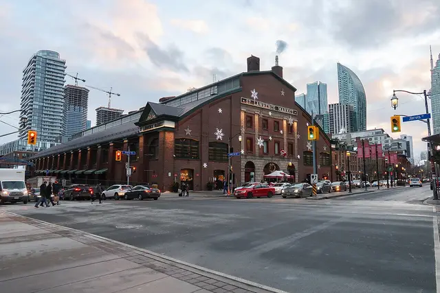
St. Lawrence Market: Toronto Travel Guide (4.6★)
 attraction
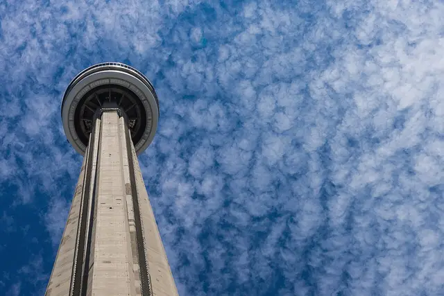
CN Tower: Toronto Travel Guide (4.6★)
 attraction
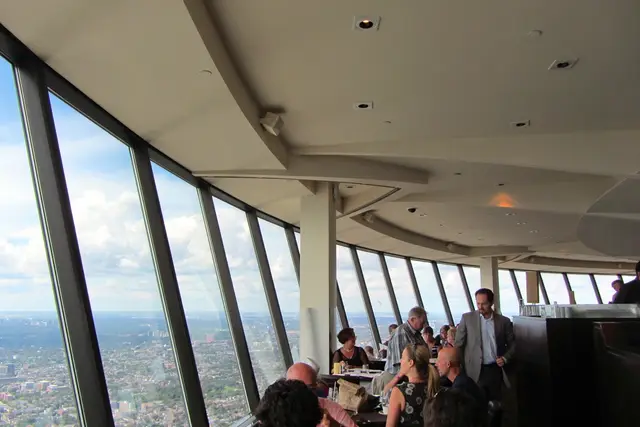
360 The Restaurant at the CN Tower: Toronto Travel Guide
 attraction