A race that runs along the sea
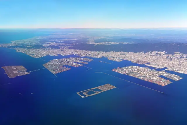
Kobe’s marathon follows the water. The city sits on a narrow strip between the Rokko mountains and Osaka Bay, so a 42.195 km course here ends up hugging the shoreline. For long stretches, runners have the sea on one side and wooded hills on the other.
The 2026 edition falls on November 15, 2026. Mid-November usually means cool mornings and the start of autumn colour on the Rokko slopes. That’s close to ideal for running a marathon.
The race began in 2011. It is tied to the city’s recovery from the 1995 Great Hanshin earthquake, and its long-running theme is gratitude and friendship. You’ll find that idea in the volunteer turnout and in how many residents line the roads.
The route from Sannomiya to Port Island
The course is set by the organiser and can change between editions. In recent years it has followed this shape:
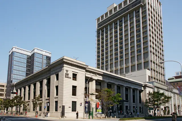
- Start: near Kobe City Hall in the Sannomiya district, close to Sannomiya Station.
- Westward leg: along National Route 2, past Suma and its beach.
- Turnaround: near the Akashi Kaikyo Bridge in the Tarumi and Maiko area. The bridge’s towers fill the view for several kilometres.
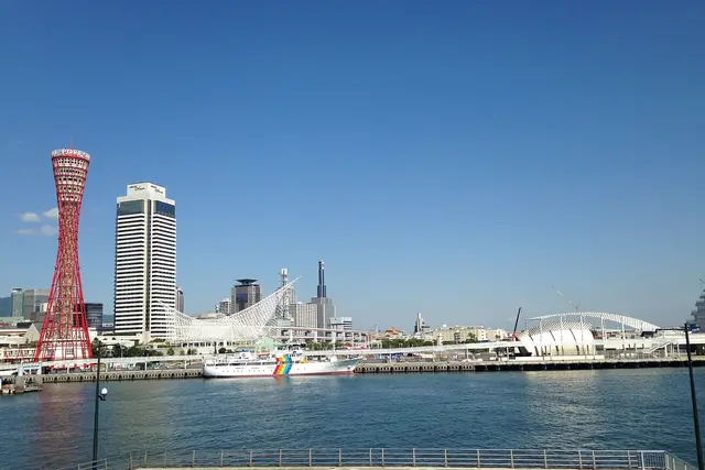
- Return: back east through the Harborland waterfront.
- Finish: across the water on Port Island, the reclaimed island south of Sannomiya.
Most of the course is flat, which suits a first marathon. The exception is the climb onto the bridges approaching Port Island. Runners usually feel those after 35 km.
Entries, bibs and the expo
Your bib comes through entry, not a ticket. Like most big Japanese city marathons, Kobe has historically filled its field through a ballot, and demand is greater than the number of places. The organiser publishes entry categories, eligibility rules and fees on the official Kobe Marathon site.
Overseas runners usually collect their bib in person at the pre-race expo in central Kobe. That’s why many of them get to the city a day or two before race day.
Watching costs nothing. There are no spectator tickets, no grandstands and no fenced viewing zones you pay for.
Picking a spot to watch
Most spectators choose one stretch and stay there. Moving along the course is hard, because road closures cut through the city for much of race morning. These are the usual favourites:
- Sannomiya / Flower Road: the start, crowded and loud, close to JR, Hankyu, Hanshin and subway stations.
- Suma: wide pavements near JR Suma Station and Sumaura-koen Station, with the beach behind you.
- Maiko: the Akashi Kaikyo Bridge as a backdrop. Photographers like the turnaround here, and JR Maiko Station is close by.
- Harborland: near Kobe Station and the shops at umie, with cafés for warming up between runners.
- Port Island: the finish area, reached by the Port Liner automated train from Sannomiya.
Following one runner along the course usually means riding the JR Kobe Line or the Sanyo Railway west, then coming back. Both lines run parallel to the course.
Cheering on the Kobe roadside
Spectators here are generous. Many bring small hand flags and handwritten signs. The shout you’ll hear most is “Ganbatte!” (“Keep going!”), and plenty of people simply clap for every runner who passes, not just their friends.
Some etiquette that makes the day go smoothly:
- Stay behind the marshals’ line. Volunteers in matching jackets manage crossings, and you only cross the course where they open a gap.
- Use an IC card such as ICOCA or Suica for trains. Ticket machine queues at Sannomiya and the Port Liner get long after the finish.
- Take your rubbish with you. Public bins are rare in Japan, and residents tidy their own stretch of pavement after the race.
- Leave the roadside aid stations to runners. Local groups sometimes hand out food to runners, and that’s for the field.
The Port Liner from the finish is the busiest part of the day. Many spectators walk the bridge back to the mainland or wait in a café on Port Island until the crowd thins.
Where runners stay and eat
Sannomiya is the practical base. It has the densest cluster of hotels, it’s walkable to the start, and it’s one Port Liner ride from the finish. Motomachi and the Kobe Station area nearby are the next most common choices.
After the race, most people want food and a soak. Nankinmachi, Kobe’s Chinatown by Motomachi, serves steamed buns from street stalls. Arima Onsen is a hot-spring town on the far side of Mount Rokko, about half an hour from Sannomiya. Runners often spend a recovery day there, or at the Kitano foreign-settlement houses above Sannomiya.
Frequently asked questions
When is the Kobe Marathon in 2026?
The 2026 Kobe Marathon is on Sunday, November 15, 2026. That's mid-autumn in Kobe, when race mornings are usually cool.
Where does the Kobe Marathon start and finish?
In recent editions it has started near Kobe City Hall in Sannomiya. It turns around near the Akashi Kaikyo Bridge in the Tarumi and Maiko area and finishes on Port Island. The organiser publishes the exact course for each year on the official Kobe Marathon site.
Do I need a ticket to watch?
No. Spectators watch from the public roadside along the course for free. Runners get places through the organiser's entry process, which has historically been a ballot.
What is the best place to watch the race?
Sannomiya is the easiest spot for the start. Suma is good for beach views and wide pavements, and Maiko puts the Akashi Kaikyo Bridge behind the runners. Port Island, reached by the Port Liner, is where the finish is.
How do spectators get around on race day?
Roads close across the city for much of race morning, so spectators travel by train. The JR Kobe Line and the Sanyo Railway run parallel to the western part of the course, and the Port Liner links Sannomiya with the finish on Port Island.
Plan your trip to Kobe
Japan eSIM & staying connected →
Some links above are affiliate links — if you book through them, Wander Atlas earns a small commission at no extra cost to you. It's how we keep every guide free.