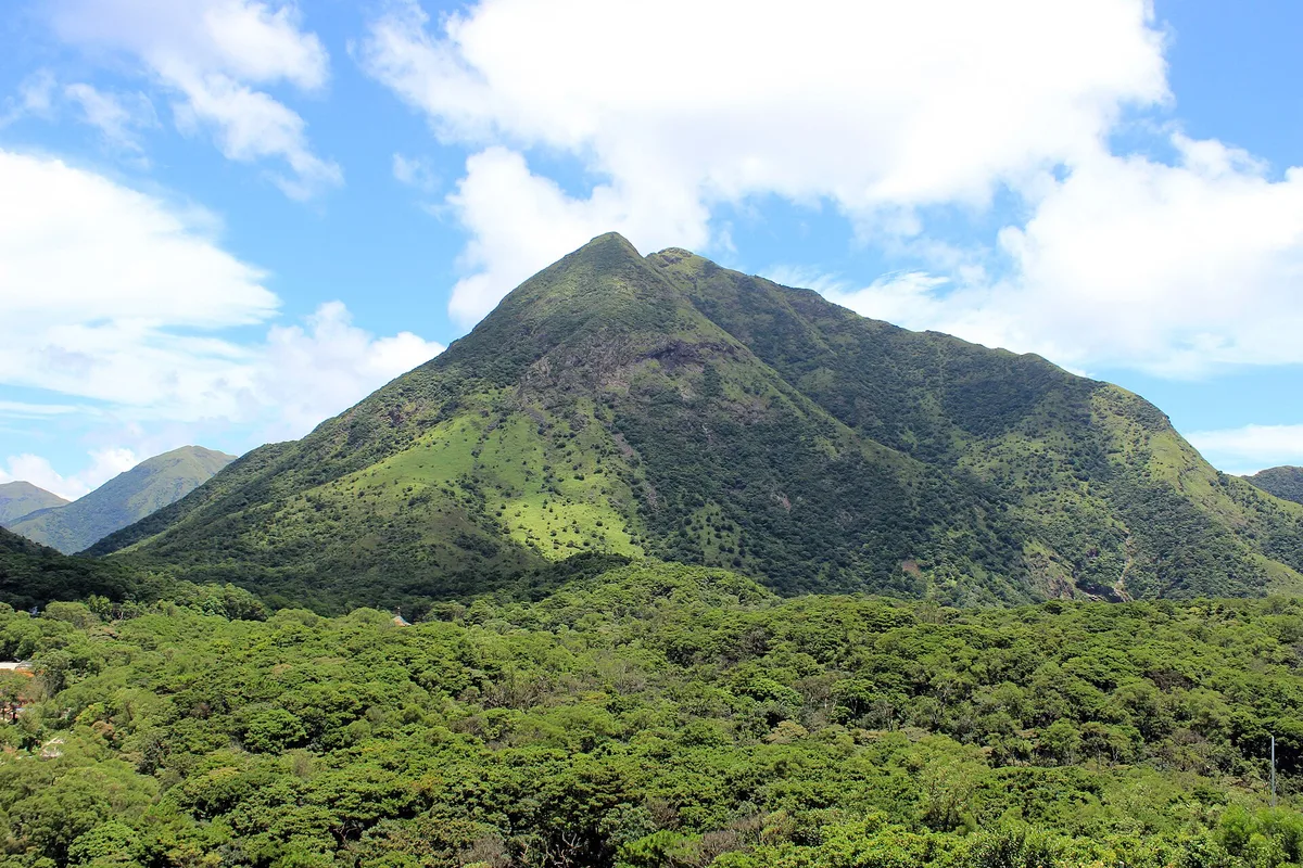
Most visitors reach Lantau expecting the cable car and the Big Buddha, then discover the island’s south side is something else entirely: a wall of green ridges dropping straight into the sea, laced with paths that have barely changed in decades. Lantau South Country Park is that ridge, and it’s less a single site than a long, wild backbone connecting several of the island’s best-known trailheads.
The park runs roughly from Mui Wo in the east to Fan Lau in the west, taking in the hills above Pui O, Cheung Sha and Shek Pik Reservoir along the way. Sections 3 to 8 of the Lantau Trail cut straight through it, so hikers rarely walk the whole park in one go; instead they pick a segment that matches their legs and their schedule.
Getting oriented on the Lantau Trail
Don’t think of this as one trail with one entrance. It’s a network, and where you start changes the whole day.
- Mui Wo to Chi Ma Wan: gentler, good for a half-day out, reachable straight from the Mui Wo ferry pier.
- Pui O to Shek Pik: the classic ridge walk, with sweeping views back over Cheung Sha’s long beach.
- Shek Pik to Fan Lau: quieter, ending near an old fort and lighthouse ruin on the island’s southwestern tip.
Buses along South Lantau Road link all of these, so you can hike one direction and bus back rather than doubling your distance.
What the walk actually feels like
The terrain shifts fast. Paved village paths give way to stone steps cut into the hillside, then open moorland where the wind off the sea hits you directly.
Grassland tinged gold in autumn covers much of the upper ridge, dotted with wild grazing cattle that wander the trail unbothered by hikers. On clear days the views stretch across to Cheung Chau and, from the higher points, back toward the airport and the Tsing Ma Bridge.
There’s very little shade above the treeline, and even less once you’re past Shek Pik Reservoir heading toward Fan Lau. Water sources are scarce mid-trail, so what you carry in is what you’ve got until the next village.
Planning around the crowds
Weekends between 9am and 4pm are the busiest window, particularly on the Pui O and Cheung Sha access points where day-trippers combine a beach visit with a short hike. If you can, start earlier or push later in the day to have more of the ridge to yourself.
Because the park is open 24 hours, some hikers do dawn starts to catch sunrise over the water before the heat builds, though the exposed terrain means a torch and proper daylight planning matter more here than on shaded trails elsewhere in Hong Kong.
Route etiquette and practical prep
This isn’t a paved city park with a gate and a map board. It’s rural, exposed hill country, and treating it that way keeps the walk enjoyable.
- Wear proper hiking shoes; loose stone and steep steps are common on the descents.
- Carry more water than you think you’ll need, especially between Shek Pik and Fan Lau.
- Check weather and typhoon signals before setting out; the ridge has no shelter in a storm.
- Respect the grazing cattle by giving them space rather than approaching for photos.
- Pack out your rubbish; bins are rare once you’re past the villages.
Trail markers are consistent along the Lantau Trail sections, numbered so you always know which segment you’re on, which is handy if you need to bail out early via a side road.
Making it a fuller Lantau day
Pair the walk with what’s already nearby rather than treating it as an isolated hike. Mui Wo’s ferry pier has noodle shops and bakeries for a post-hike refuel, and Cheung Sha Beach sits right beside the trail if you fancy a swim to finish.
Further west, Tai O fishing village is a short bus ride from the Shek Pik area and makes a natural add-on for stilt houses and dried seafood stalls. None of these require backtracking through Lantau’s more touristed north, so the day stays entirely on the quieter side of the island.
Frequently asked questions
How do I get to Lantau South Country Park?
Take the ferry from Central to Mui Wo, then either walk straight onto the trail from the pier or catch a New Lantau Bus along South Lantau Road to trailheads near Pui O, Cheung Sha or Shek Pik.
Is there an entrance fee?
No, the park is free to enter and open 24 hours, though you should still check weather conditions before a hike since parts of the ridge are fully exposed.
How long does the hike take?
Depends on the section: Mui Wo to Chi Ma Wan is a half-day walk, while the full stretch from Mui Wo to Fan Lau can take 6-8 hours for a fit hiker.
When is the best time to avoid crowds?
Weekends between 9am and 4pm are busiest, especially near the beach access points at Pui O and Cheung Sha. An early morning or late afternoon start is noticeably quieter.
What should I bring?
Sturdy hiking shoes, plenty of water, sun protection and a fully charged phone. Shade and water refill points are limited once you're past the villages.
Plan your trip to Lantau Island
Hong Kong eSIM & staying connected →
Some links above are affiliate links — if you book through them, Wander Atlas earns a small commission at no extra cost to you. It's how we keep every guide free.
Related guides
 attraction
 Big buddha: Lantau Island Travel Guide (4.8★)
 attraction
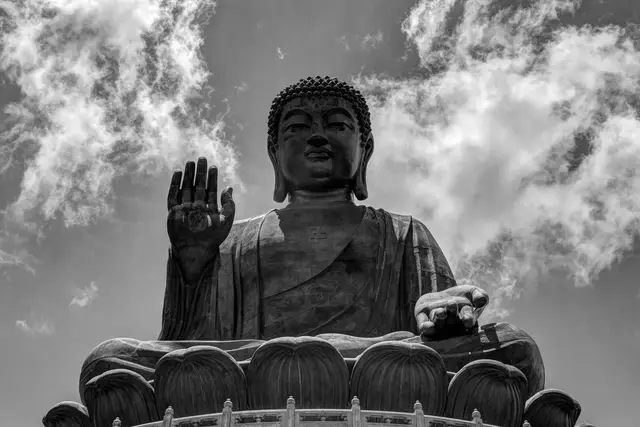
 Tian Tan Buddha: Lantau Island Travel Guide (4.6★)
 hidden gem
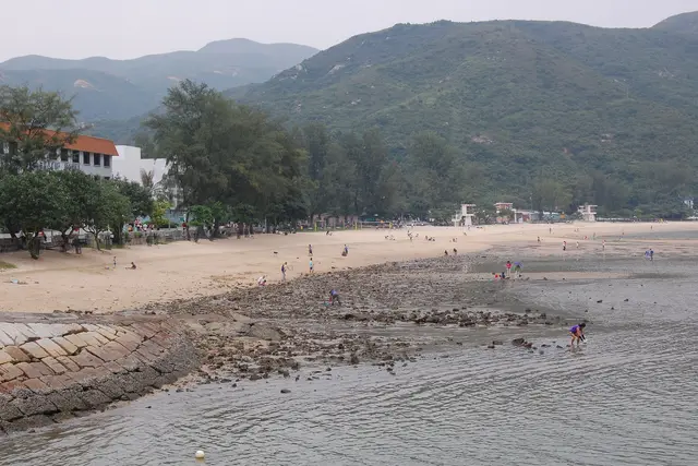
 Silvermine Bay Beach: Lantau Island Travel Guide (4.1★)
 restaurant