Where the cable car sets you down
Step out of the Ngong Ping 360 terminal and you’re already in the village. It covers 1.5 hectares, laid out as one walkable open-air strip of low buildings with Chinese-style rooflines. The shops and restaurants line the path, and cultural performances run in the open spaces between them.
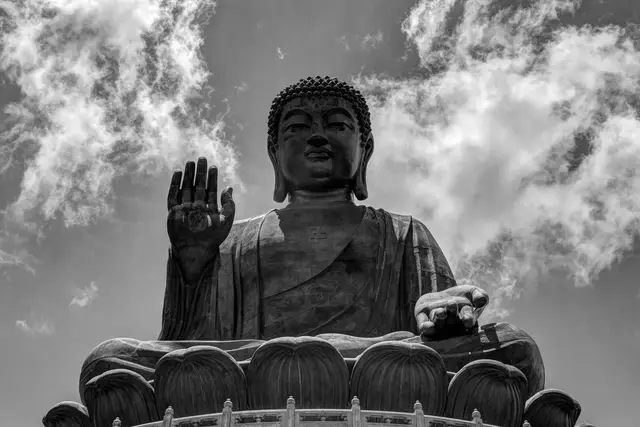
At the far end, the Tian Tan Buddha sits on its hill. The bronze figure is one of the largest seated Buddhas in the world, and it pulls your eye the whole way along. The village is the approach to it rather than the destination. Most people cross it in ten minutes on the way up and linger on the way back.
Getting up the mountain
There are two routes to the plateau, and both start in Tung Chung.
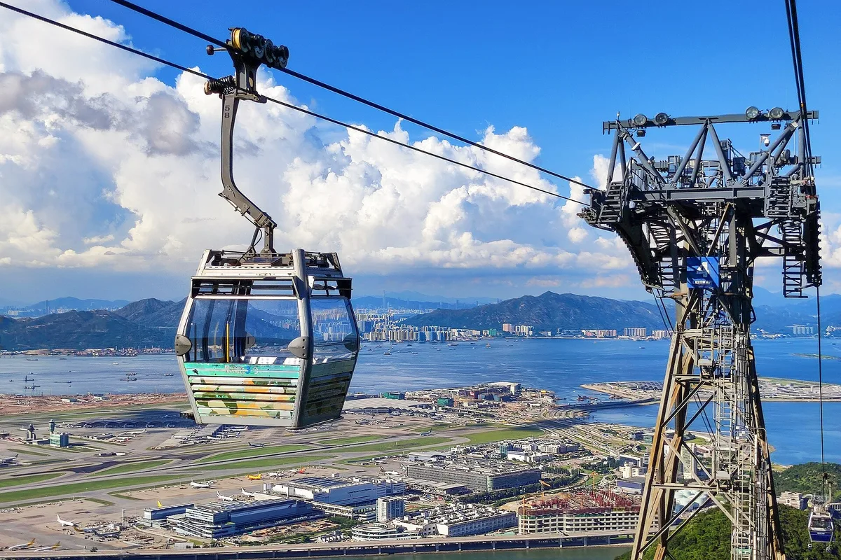
- Ngong Ping 360 cable car: From Tung Chung MTR Station (Tung Chung Line), take Exit B and walk a few minutes to the cable car terminal. The ride covers about 5.7 km and takes roughly 25 minutes. You pass over Tung Chung Bay and the ridges of Lantau Country Park, with Hong Kong International Airport in view.
- Crystal cabins: These have glass floors, so you look straight down onto the hiking trails below.
- New Lantao Bus route 23: It leaves from the Tung Chung Town Centre bus terminus and climbs the winding mountain road. It’s slower, but it keeps running when the cable car is shut.
The cable car closes every year for scheduled maintenance, and it also stops in high winds. Check the Ngong Ping 360 website on the morning you go. Cable car hours are set separately from the village’s 10am to 6pm.
What’s around the village
The village makes sense once you walk beyond it.
- Tian Tan Buddha: 268 steps lead up to the base. From the platform you look out over the South Lantau hills and the sea.
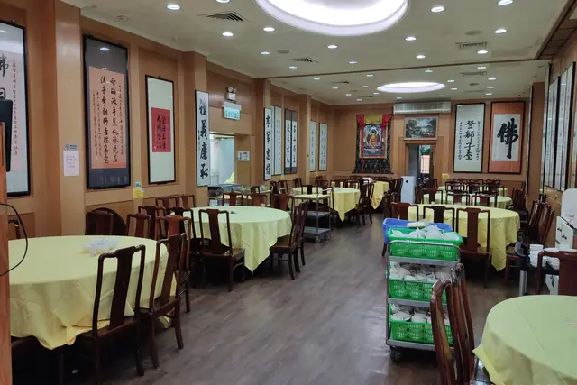
- Po Lin Monastery: It stands opposite the Buddha. Its main halls are painted red and gold, and incense burners stand in the forecourt. The monastery kitchen serves vegetarian meals.
- Wisdom Path: A short, level walk from the village takes you there. Tall wooden columns carved with the Heart Sutra stand in a figure-of-eight on the hillside.
- Lantau Peak trail: The hike toward Hong Kong’s second-highest summit starts nearby. Save it for a clear, cool day.
Plan on three to five hours for the round trip from Tung Chung. That covers the Buddha steps and a meal at the monastery or in the village.
Pacing a day on the plateau
Ngong Ping is well known, and on weekends and public holidays the crowds build at the cable car terminal in Tung Chung more than in the village. Buying cable car tickets online ahead lets you skip the ticket queue. Starting early on a weekday usually beats the tour groups.
- Save the village shops for the way down, after the Buddha, when your legs want a rest.
- At Po Lin, cover your shoulders and speak quietly in the halls. Ask before photographing worshippers.
- Don’t eat meat or drink alcohol in the monastery grounds.
- Octopus cards work at the cable car, on the bus and at most village outlets.
- The plateau is several degrees cooler than the city and often wrapped in cloud, so carry a light layer.
- Shops close at 6pm. Aim for a return cable car well before then, because the downhill queue builds late in the afternoon.
Frequently asked questions
How do I get to Ngong Ping Village?
Take the MTR Tung Chung Line to Tung Chung Station, use Exit B and walk to the Ngong Ping 360 cable car, which takes about 25 minutes. Alternatively, New Lantao Bus route 23 runs from the Tung Chung Town Centre bus terminus.
What are Ngong Ping Village's opening hours?
The village is open daily from 10am to 6pm, including weekends. Cable car hours are set separately, so check the Ngong Ping 360 website.
How long should I spend there?
Allow three to five hours for the round trip from Tung Chung. That covers the village, the 268 steps to the Tian Tan Buddha, Po Lin Monastery and a meal.
What if the cable car is closed?
It shuts for annual maintenance and in high winds. Bus route 23 from Tung Chung Town Centre still reaches Ngong Ping.
What's near Ngong Ping Village?
The Tian Tan Buddha, Po Lin Monastery and the Wisdom Path are all within walking distance. The Lantau Peak trail starts nearby.
Plan your trip to Lantau Island
Some links above are affiliate links — if you book through them, Wander Atlas earns a small commission at no extra cost to you. It's how we keep every guide free.
Related guides
 hidden gem
 Silvermine Bay Beach: Lantau Island Travel Guide (4.1★)
 attraction
 Tian Tan Buddha: Lantau Island Travel Guide (4.6★)
 restaurant
 Po Lin Monastery Restaurant: Where to Eat in Lantau Island
 attraction