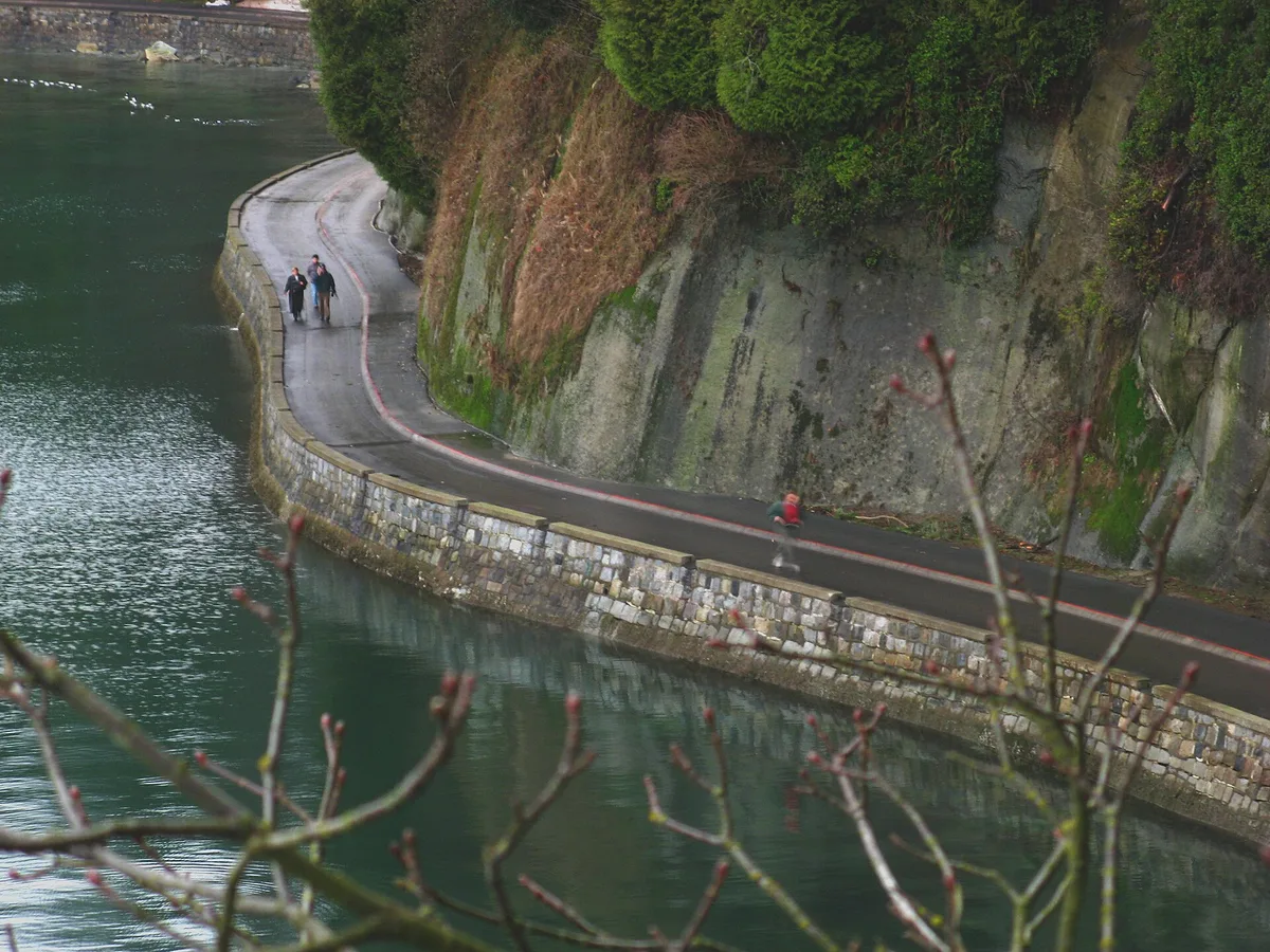
Granite on one side, the Pacific on the other
The wall is granite, and you can see the masonry. Hand-fitted blocks drop straight into the sea at high tide. At low tide they rise above rockweed, barnacles and grey shingle. Along the top run two paths, separated by a painted line or a low curb. One is for feet, the other for anything with wheels.
On your left are Douglas firs and western red cedars. On your right are freighters at anchor in English Bay, and floatplanes landing in Coal Harbour behind you. It is a flat, paved promenade, and the whole city uses it. Vancouverites run it before work and cycle it with kids on weekends. Visitors come for the views of the North Shore mountains.
Where the wall actually goes
People say “the seawall” as if it were one thing, but it is several connected stretches. In total it runs about 28 km and is the longest uninterrupted waterfront path in the world. Most visitors only see one part of it.
- Stanley Park loop: about 9 km around the park’s edge. This is the classic stretch.
- Coal Harbour: from Canada Place west past the marinas to the park entrance.
- English Bay and Sunset Beach: beaches, the West End towers, and Burrard Bridge overhead.
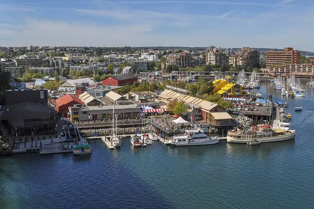
- False Creek: past Yaletown, around to Science World, and back along the south shore to Granville Island.
- Kitsilano and beyond: Kits Beach, then west towards Jericho and Spanish Banks.
Building it took most of the 20th century. Work began in 1917 to stop erosion along the Stanley Park shore, and the loop wasn’t finished until 1980. Stonemason James Cunningham spent decades on it, and there is a plaque to him along the wall.
Counter-clockwise around Stanley Park
In Stanley Park, the direction you travel matters. Cyclists and skaters must ride the loop counter-clockwise only. Starting from Coal Harbour, that puts the landmarks in this order:
- Deadman’s Island, just offshore, now a naval reserve base.
- The Nine O’Clock Gun, a cannon that still fires every evening at 9pm.
- Brockton Point, with the totem poles a short walk inland and the red-and-white lighthouse on the point.
- Girl in a Wetsuit, the bronze figure on a rock in the water.
- Lumberman’s Arch, with a grassy field and a water park behind it.
- Lions Gate Bridge, which you pass beneath near Prospect Point. This is the windiest, wildest corner of the loop.
- Siwash Rock, a sea stack with a single tree growing from its top.
- Third Beach and Second Beach, sandy coves with logs to sit on.
On foot the loop takes about 2–3 hours with stops. By bike, allow about an hour. There is no shortcut once you pass Prospect Point, so commit before you get there.

Sharing the wall without getting yelled at
This is a shared path, and the rules are what keep it working. Locals notice when visitors don’t follow them.
- Stay in your lane. Walkers keep to the seaward or marked pedestrian side. Bikes, scooters and inline skates use the wheeled lane.
- Ride one way. In Stanley Park, wheels go counter-clockwise. Pedestrians can walk in either direction.
- Step aside to stop. Photos at Siwash Rock or under the bridge happen off the path, not in the middle of it.
- Bell, don’t shout. Rental bikes come with a bell. Ring it once when you pass on the left.
- Rent near the park. Denman Street, near the park’s entrance, has a cluster of bike rental shops. Mobi, the city’s bike share, has docks near the seawall. Its prices are posted at each dock and in the app.
Off-leash dogs aren’t allowed on the seawall, and cyclists who go the wrong way get called out fast. In summer, cyclists often walk their bikes through the busiest pinch points near English Bay rather than weave through the crowd.
Timing the loop around the crowds
According to BestTime’s forecast of typical foot traffic, the calmest weekday window is 7am–8am. At that hour you mostly share the path with runners, and the light comes in low over Burrard Inlet.
Weekends are a different story. Try not to arrive between 9am and 7pm on a Saturday or Sunday. That’s when rental bikes, strollers and tour groups fill both lanes, and the stretches near Second Beach and English Bay are slowest. The quietest weekend hours are 8pm–11pm.
Google currently lists the seawall as open 24 hours. Some forested sections of the Stanley Park loop are dimly lit after dark, though. For a weekend evening walk, stick to the lit English Bay and Coal Harbour stretches, or go out on summer evenings while it’s still light. Winter storms sometimes damage sections and close them for repairs. The Vancouver Park Board site lists any current closures.
Getting onto the wall
You can join the seawall almost anywhere along the downtown waterfront.
- From transit: Waterfront Station (Expo Line, Canada Line, SeaBus) is a short walk from Canada Place and the Coal Harbour stretch. Burrard Station (Expo Line) is closer to the harbour path heading west.
- By bus: the 19 runs along West Pender and Georgia to Stanley Park.
- On foot from the West End: walk down Denman Street to English Bay, or head north to the Coal Harbour park entrance.
Parking in Stanley Park is pay parking at machines in the lots. Rates are posted at the machines. On busy weekends the lots near Second and Third Beach fill early, so transit or a bike is usually easier.
English Bay at the end of the day
If you ride or walk counter-clockwise, the Stanley Park loop ends at English Bay. It’s a good place to finish. The beach faces west, and the driftwood logs along the sand turn into seats as the sun drops behind the freighters.
From here you can carry on south along Sunset Beach, under Burrard Bridge, to the little ferries that cross False Creek to Granville Island. Or you can head up Davie or Denman Street for dinner. In late July, the Celebration of Light fireworks are launched over this bay. On those nights the seawall here is packed shoulder to shoulder, so plan your route home before you arrive.
Frequently asked questions
How long does it take to walk or cycle the Vancouver Seawall?
The Stanley Park loop is about 9 km. It takes 2–3 hours on foot with stops, or about an hour by bike. The whole seawall is about 28 km, so most people only do one section in a day.
When is the quietest time to visit the Vancouver Seawall?
BestTime's forecast of typical foot traffic puts the quietest weekday window at 7am–8am and the quietest weekend window at 8pm–11pm. Avoid 9am–7pm on weekends, when it is usually at its busiest.
Which direction should I ride around Stanley Park?
Cyclists, skaters and scooter riders must go counter-clockwise on the Stanley Park seawall, starting from Coal Harbour and finishing at English Bay. Pedestrians can walk in either direction on their side of the path.
How do I get to the seawall without a car?
Waterfront Station (Expo Line, Canada Line, SeaBus) and Burrard Station (Expo Line) are both a short walk from the Coal Harbour stretch. The 19 bus runs to Stanley Park, and Denman Street in the West End has bike rental shops close to the park entrance.
What can I see along the Stanley Park section?
Highlights include Deadman's Island, the Nine O'Clock Gun, the Brockton Point lighthouse and totem poles, and the Girl in a Wetsuit statue. Further on are Lumberman's Arch, the underside of Lions Gate Bridge, Siwash Rock, and Third and Second Beach, before the loop reaches English Bay.
Plan your trip to Vancouver
Canada eSIM & staying connected →
Some links above are affiliate links — if you book through them, Wander Atlas earns a small commission at no extra cost to you. It's how we keep every guide free.
Related guides
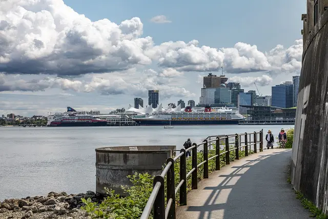 attraction
Stanley Park Seawall Path: Vancouver Travel Guide
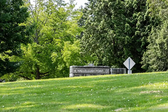 attraction
Stanley Park: Vancouver Travel Guide (4.8★)
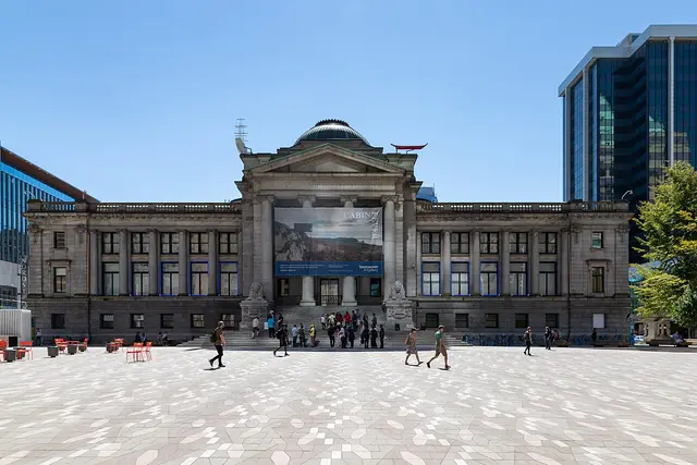 attraction
Vancouver Art Gallery: Travel Guide (4.3★)
 attraction