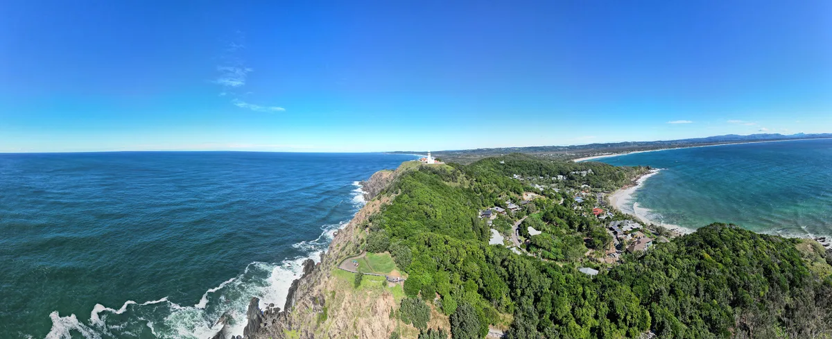
The headland narrows to a grassy spine, and at the end a white tower rises out of the scrub. Below it the Pacific breaks against black rock on three sides. This is Cape Byron, the most easterly point of mainland Australia, and the lighthouse has marked it since 1901.
A white tower at the continent’s edge
The tower is about 22 metres tall and built from precast concrete blocks. That was an unusual method when it went up, and it is the reason the structure has survived more than a century of salt wind. The original glass lens inside the lantern room is still among the most powerful lights ever installed on the Australian coast.
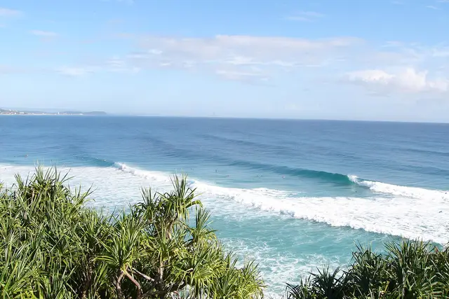
The keepers’ cottages sit beside the tower, low and white with red roofs. Today they house a small maritime display and holiday accommodation run by the state parks service. Around them the ground falls away fast. On one side you look down to Wategos Beach, and on the other the long curve of Tallow Beach runs south.
Getting up the hill
You have three options, and the walk is the best of them.
- On foot from town: follow Lighthouse Road past Clarkes Beach and The Pass, then pick up the Cape Byron Walking Track. The full loop is about 3.7 km and takes 1.5–2 hours with stops.
- By car to the top: a small paid car park sits beside the lighthouse. It fills quickly in summer and on weekends.
- By car to Captain Cook Lookout or Palm Valley: park lower down and walk the last stretch uphill.
Expect steep sections and plenty of stairs, especially on the climb from Wategos. The track is shaded in patches of rainforest and fully exposed on the cliffs, so carry water and a hat.

Whales, dolphins and the easterly point
The headland juts far enough out that migrating humpbacks pass unusually close. From roughly June to November you can watch them breach and slap their tails from the lighthouse lawn, no boat needed. Bottlenose dolphins work the surf off The Pass for most of the year.
A signposted path drops below the lighthouse to the Most Easterly Point marker. From there the next stop east is open ocean as far as South America. Look for sea turtles surfacing in the clear water off the rocks.
Choosing your hour
Sunrise is the reason many people make the climb. Cape Byron is one of the first places on the Australian mainland to catch the morning light. Walking up in the dark with a head torch, then watching the sky turn from the lawn, is a Byron ritual.
Late afternoon works too. The light falls warm across the bay toward Mount Warning in the hinterland. Car park hours, tower tour times and cottage access change through the year, so check the NSW National Parks and Wildlife Service website before you set out.
Doing the cape loop properly
The regulars have a few habits worth borrowing.
- Walk the loop clockwise from The Pass. You do the hard stair climb early, then descend gently through the rainforest of Palm Valley.
- Skip the top car park at peak times. Circling for a space wastes more time than the walk saves.
- Check for tower tours. Guided visits inside the lighthouse run on some days; times and bookings are on the parks service website.
- Stay on the marked track. The cliffs are crumbly and fenced for a reason, and the scrub shelters nesting birds.
- Bring binoculars in whale season. A spout far out often turns into a breach a few minutes later.
Card payment is normal in Australia, including at the car park machines and the small café near the cottages. Tipping is not expected.
Making a morning of it
Pair the lighthouse with a swim. Wategos Beach sits just below the north side of the headland and is sheltered enough for a dip on most days. The Pass, at the start of the loop, is one of the town’s best-known surf breaks for longboarders.
Back in town, Jonson Street and Lawson Street are a short walk from Main Beach for breakfast after a sunrise climb. Allow about half a day in total if you walk from town and add a beach stop. Reaching it by car and only looking around the top takes about an hour.
Frequently asked questions
How do I get to Byron Bay Lighthouse without driving?
Walk from town along Lighthouse Road to The Pass, then follow the Cape Byron Walking Track uphill. The full loop is about 3.7 km and takes 1.5–2 hours.
Is there parking at Byron Bay Lighthouse?
Yes, a small paid car park sits next to the lighthouse, but it fills quickly at busy times. You can also park lower down at Captain Cook Lookout or Palm Valley and walk up. Current charges are shown on the machines and the NSW National Parks website.
When can I see whales from the lighthouse?
Humpback whales migrate past Cape Byron roughly June to November. You can often spot them from the lawn around the lighthouse without a boat.
Can I go inside the lighthouse tower?
Guided tower tours run on some days. Check the NSW National Parks and Wildlife Service website for current tour times and bookings.
What else is nearby?
Wategos Beach, The Pass, the Most Easterly Point marker below the lighthouse, Tallow Beach and Byron Bay town centre are all within walking distance on the cape loop.
Plan your trip to Byron Bay
Australia eSIM & staying connected →
Some links above are affiliate links — if you book through them, Wander Atlas earns a small commission at no extra cost to you. It's how we keep every guide free.
Related guides
 attraction
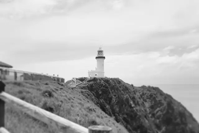
Cape Byron Lighthouse: Byron Bay Travel Guide (4.7★)
 attraction
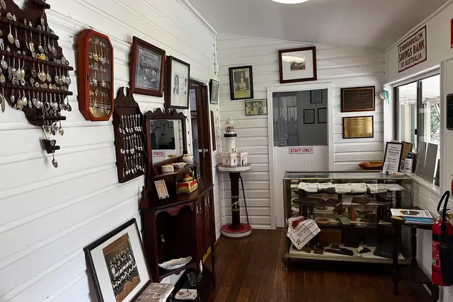
Bangalow Heritage House Museum: Byron Bay Travel Guide
 hidden gem
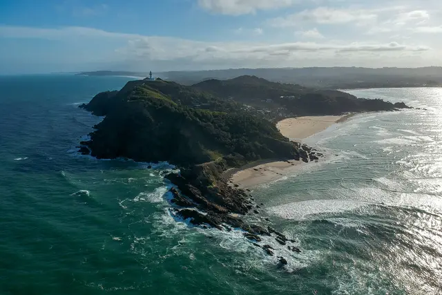
Cape Byron: Byron Bay Travel Guide (4.8★)
 attraction