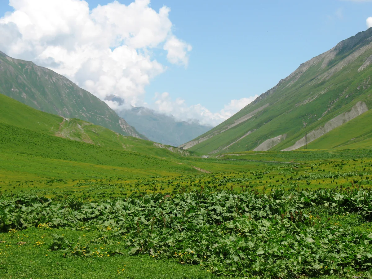
The top of the Military Road
The asphalt runs out of uphill here. Jvari Pass, the “Cross Pass”, sits at roughly 2,379 m on the E117. It marks the watershed between the Aragvi valley you climbed out of and the Tergi (Terek) basin running north toward Russia.
The ground around the road is open and treeless. Bare grassy slopes rise on both sides, and in summer you can see the ridgelines of the Greater Caucasus without a single pine in the way. Most cars cross it without slowing down, so the shoulders are rarely crowded and you won’t need to fight anyone for the view.
Getting up from Gudauri
The pass is a short drive north of Gudauri on the same road, and most visitors combine it with a trip to Stepantsminda. Tbilisi is roughly three hours south, depending on traffic.
- By car: stay on the E117 north from Gudauri. Past the resort, the road climbs through hairpins and concrete avalanche galleries.
- By marshrutka: minibuses run from Tbilisi’s Didube station to Stepantsminda along this road. They won’t stop for long, so a hired driver or taxi suits photographers better.
- By tour: most Kazbegi day trips from Tbilisi go over the pass. Ask in advance whether a stop at the top is included.

What you’re stopping for
The panorama is the point: a wide sweep of peaks and the valleys falling away on both sides. Go just over the crest on the Kobi side and you’ll find mineral springs that have stained the slope in rust and cream travertine terraces. It’s one of the most photographed roadside sights on the route.
Snow can stay up here well into spring, so the colours change through the year:
- June to September: green slopes, a reliably open road, and the clearest hiking light early in the day.
- October: brown and gold grass, with the first snow on the high peaks.
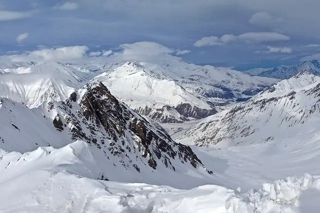
- Winter: a white landscape, but the pass is subject to closures and chains may be required.
Even in July it’s noticeably colder and windier than in Gudauri. Pack a layer whatever the forecast says for Tbilisi.
Stopping on a road built for trucks
The E117 is the main freight route to the Upper Lars border crossing. Heavy lorries grind over this pass all year, and sometimes they queue in long lines when the border or the road backs up. Pull fully off onto a wide gravel shoulder rather than braking on a bend. Cross the road on foot only where you can see both directions.
Some practical points:
- Winter road status: Georgian authorities announce pass closures. Hotels and drivers in Gudauri hear first, so ask at reception before leaving.
- Fuel and food: there are no reliable services at the summit. Fill up and eat in Gudauri or Stepantsminda.
- The springs: stick to the existing trodden paths. The travertine crust is fragile and breaks underfoot.
- Livestock: shepherds move sheep and cattle along the road in summer. Slow down and let the animals clear the road at their own pace.
Clouds often build over the Caucasus as the day warms up, so an early start from Gudauri gives you the best chance of a clear view from the top.
Frequently asked questions
How far is Jvari Pass from Gudauri?
It's a short drive north of the Gudauri resort on the E117 Georgian Military Road, on the way to Stepantsminda (Kazbegi).
How high is Jvari Pass?
About 2,379 m. It is the highest point of the Georgian Military Road, so expect it to be colder and windier than Gudauri.
Is Jvari Pass open in winter?
Often, but not always. Avalanches and heavy snow can close it, and chains may be required. Check the road status with your hotel or driver in Gudauri on the day.
How long should I stop at Jvari Pass?
20–40 minutes covers the panorama and the travertine mineral springs just over the crest on the Kobi side.
What else is nearby?
Gudauri ski resort to the south, and the Kobi valley and Stepantsminda (Kazbegi) to the north. Most visitors cross the pass as part of a Kazbegi trip.
Plan your trip to Gudauri
Georgia eSIM & staying connected →
Some links above are affiliate links — if you book through them, Wander Atlas earns a small commission at no extra cost to you. It's how we keep every guide free.
Related guides
 attraction
Gudauri Ski Resort: Travel Guide (4.6★)
 hidden gem
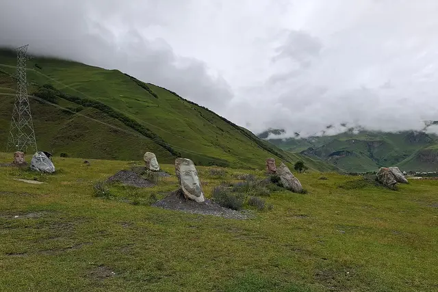
Gigantic Sculptures by Merab Phiranishvili.: Stepantsminda Travel Guide
 hidden gem
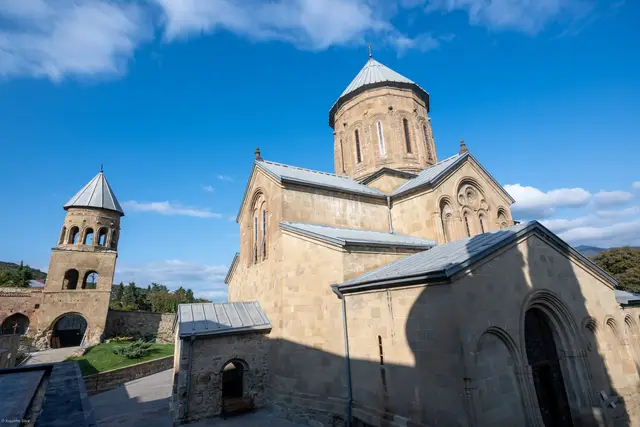
Samtavro's Convent: Mtskheta Travel Guide (4.9★)
 hidden gem