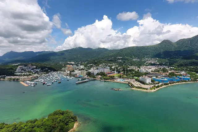
Sai Kung East Country Park sits on a peninsula of steep granite ridges and volcanic rock east of Sai Kung town, bordered by Port Shelter and the open waters toward the Ninepin Group. It covers roughly 47 square kilometres, making it one of Hong Kong’s largest country parks. Inside its boundaries: the High Island Reservoir, sections of the Maclehose Trail, and some of the territory’s most photographed coastline.
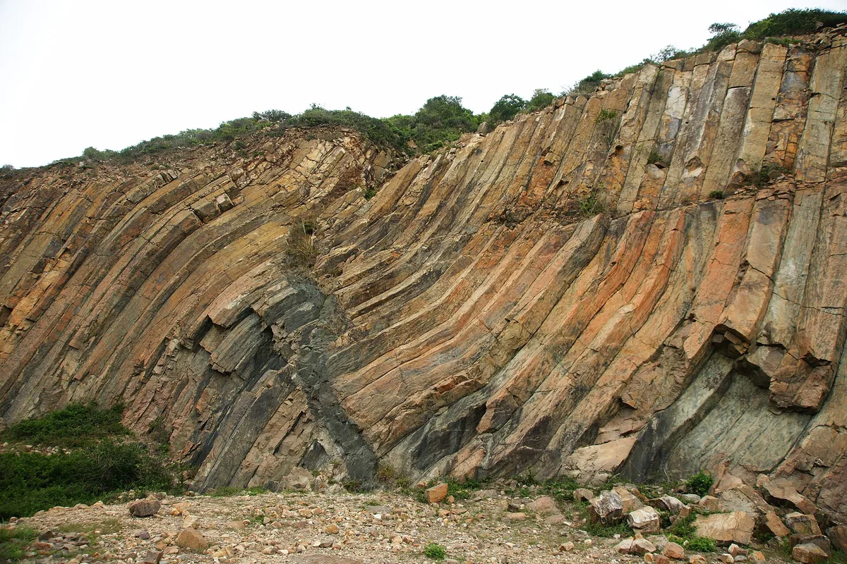
The park’s headline feature is the Sai Kung Volcanic Rock Region, a UNESCO-recognized geological area on the East Dam of High Island Reservoir. Hexagonal rock columns, shaped by ancient volcanic activity, rise in tilted, folded formations along the shoreline. A short walk from the dam’s car park brings you to viewing platforms overlooking them.
Tai Long Wan, a string of four beaches, is the park’s other big draw. Reaching Sai Wan or Ham Tin usually means a hike of one to two hours from Pak Tam Au or Wong Shek, rewarded with white sand and turquoise water rare this close to a major city. Long Ke Wan, near the East Dam, is shorter to reach and often quieter on weekdays.
Getting into the park
There’s no MTR station nearby; access is by road or trail.
- From Sai Kung town, minibus 29R or hired vans run to Pak Tam Chung, the park’s main gateway.
- From Pak Tam Chung, another minibus or taxi continues to the East Dam for the volcanic rock viewpoints.
- Hikers doing Maclehose Trail Sections 1 and 2 start at the East Dam and finish near Pak Tam Au.
- The park is open 24 hours daily, but trails and viewpoints are best tackled in daylight; there’s no lighting once you’re off the main roads.

Hiking Maclehose Trail Section 1
This opening stretch of Hong Kong’s 100km trail runs from the East Dam to Pak Tam Au, about 10.6km. It’s considered one of the easier sections, mostly paved or graded path, with sea views toward the Ninepin Group for much of the route.
Bring more water than you think you’ll need. There’s little shade and no shops until Pak Tam Au. Given the size and open exposure of the park, sunburn and heat exhaustion are the main risks, not getting lost.
Timing your visit around the crowds
The park is well-known and draws heavy weekend traffic, especially to the East Dam and Tai Long Wan trailheads. Weekday mornings are noticeably calmer for both the volcanic rock viewpoints and the beach hikes.
October through March brings drier air and cooler hiking temperatures, avoiding the summer heat and typhoon season (roughly June to September). Typhoon signals close trails and beaches entirely, so check Hong Kong Observatory warnings before setting out.
Practical notes for the reservoir and beaches
High Island Reservoir has no swimming access; it’s a drinking-water supply, so admiring it from the dam and East Dam viewpoints is as close as you’ll get. Tai Long Wan beaches have no lifeguards outside limited summer hours, so treat any swimming there as at your own risk. Pack cash for the small noodle shops and drink stalls at Ham Tin and Chek Keng, since card payment is rarely available this far from town.
Frequently asked questions
How do I get to Sai Kung East Country Park without a car?
Take minibus 29R from Sai Kung town to Pak Tam Chung, then a connecting minibus or taxi onward to the East Dam or Wong Shek Pier depending on your destination.
How long does the Tai Long Wan hike take?
Plan one to two hours each way from Pak Tam Au or Wong Shek to reach Sai Wan or Ham Tin beach, depending on your pace and which beach you choose.
When is the best time to visit?
October to March offers the driest, coolest conditions for hiking. Weekday mornings are quieter than weekends, when the East Dam and beach trailheads get crowded.
Is the volcanic rock area accessible without a long hike?
Yes. A short walk from the East Dam car park leads to viewing platforms overlooking the hexagonal rock columns, no serious hiking required.
Can I swim in the reservoir or at the beaches?
The High Island Reservoir is drinking-water supply and off-limits for swimming. Tai Long Wan beaches allow swimming but have no lifeguards outside limited summer hours.
Plan your trip to Sai Kung
Hong Kong eSIM & staying connected →
Some links above are affiliate links — if you book through them, Wander Atlas earns a small commission at no extra cost to you. It's how we keep every guide free.
Related guides
 attraction
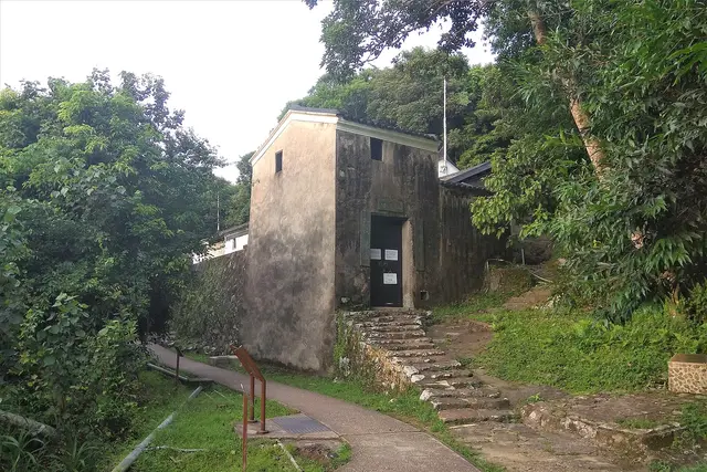
 Sheung Yiu Folk Museum: Sai Kung Travel Guide (4.0★)
 attraction
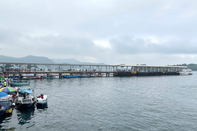
 Sai Kung Public Pier: Travel Guide (4.1★)
 attraction
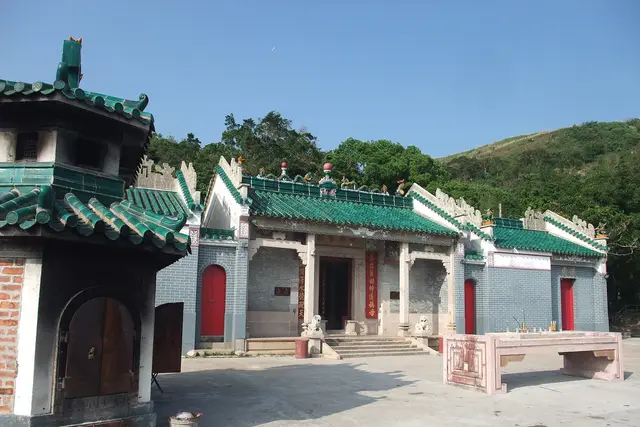
 Tin Hau Temple, Joss House Bay: Sai Kung Travel Guide (4.2★)
 hidden gem
 Sai Kung Town: Travel Guide (4.3★)
This spot is Day 3 of our Hong Kong 3-day itinerary
This spot is Day 4 of our Hong Kong 5-day itinerary