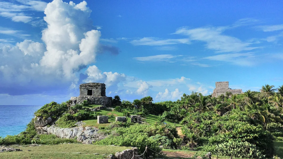
A walled city at the edge of the sea
Most Maya cities sit in the jungle. Tulum is different: it sits on a cliff above turquoise water. A stone wall runs around three sides of the site, and the sea forms the fourth. The wall gives the place its name, since tulum means wall in Yucatec Maya. Its older name is often given as Zamá, or “dawn”, which fits a city facing east over the Caribbean.
Tulum was one of the last cities the Maya built and lived in. It peaked between the 13th and 15th centuries as a port for coastal trade. Spanish sailors saw it from their ships in 1518. It is smaller than Chichén Itzá or Cobá. The attraction here is the setting, not the size.
What you walk past inside
Roped gravel paths loop between low grey limestone buildings, with sea-grape and palms along the edges. Iguanas lie out on almost every warm stone. You can’t climb any of the structures, so you see them all from the path. Don’t miss:
- El Castillo, the largest building, on the cliff edge. It doubled as a beacon for canoes finding a gap in the reef.
- Temple of the Frescoes, where faded murals and carved masks of a Maya deity survive on the corners.
- Temple of the Descending God, named for the upside-down winged figure carved over its doorway.
- The bluff viewpoint south of El Castillo. This is the classic photo of the temple above the beach.
There is almost no shade. Wear a hat, carry water and use reef-safe sunscreen, especially if you plan to swim.

Beating the coaches to the gate
Tulum is one of the most visited ruins in Mexico, so the trick is timing, not finding a quiet corner. Tour buses from Cancún and Playa del Carmen usually arrive mid-morning. If you’re at the gate when it opens at 8:00 AM, you’ll have about an hour of fairly empty paths. Gates close at 5:00 PM every day, and they close earlier than sunset for most of the year.
- Getting in: the car park and ticket area are off Highway 307. From there it’s roughly a kilometre’s walk to the wall, or you can take the small trolley.
- Tickets: the current price is posted at the ticket booth and on the INAH (Mexico’s heritage institute) website. The surrounding Jaguar National Park may charge a separate fee. Have some pesos ready in case card machines are down.
- Guides: licensed guides wait near the entrance. Agree on the length of the tour before you set off.
- Rules: drones and commercial filming need permits, and staff will stop you crossing the ropes.
- The beach: wooden stairs lead down to a small cove below El Castillo. They close when the sea is rough or sargassum seaweed piles up, so treat a swim as a bonus.
Linking it with the rest of Tulum
The ruins are about 4 km north of Tulum town (Tulum Pueblo). A bike, taxi or colectivo gets you there quickly. The beach road continues south into the Zona Hotelera. Playa Paraíso, the first public beach after the ruins, is the natural next stop for a swim and lunch.
If you visit inland, Gran Cenote is a short drive towards Cobá. Cobá itself is about 45 km away, and you can still climb its tall Nohoch Mul pyramid. Pairing the ruins at opening time with a cenote at midday makes a good day trip, and you’ll be out of the sun when it’s strongest.
Frequently asked questions
What time do the Tulum ruins open and close?
Every day of the week, 8:00 AM to 5:00 PM. Gates close before sunset for most of the year, so sunset visits aren't possible.
How long do I need at the Tulum ruins?
About 1.5 to 2 hours covers the walk from the car park, the loop past El Castillo and the frescoes, and photos from the bluff. Add time if the beach below is open.
Can I swim at the beach below the ruins?
Sometimes. A staircase leads down to a cove under El Castillo, but it closes in rough seas or heavy sargassum. If it's shut, go to Playa Paraíso just to the south.
How do I get to the Tulum ruins from Tulum town?
The site is about 4 km north of Tulum Pueblo, off Highway 307. Bike, taxi or colectivo all work. From the car park, walk about a kilometre or take the trolley to the entrance.
Can I climb the pyramids at Tulum?
No. Every structure, including El Castillo, is roped off and seen from the paths. Cobá, about 45 km inland, is where you can still climb its main pyramid.
Plan your trip to Tulum
Some links above are affiliate links — if you book through them, Wander Atlas earns a small commission at no extra cost to you. It's how we keep every guide free.
Related guides
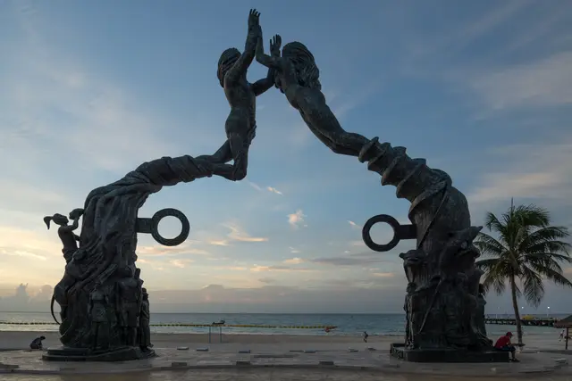 attraction
 Portal Maya: Playa del Carmen Travel Guide (4.7★)
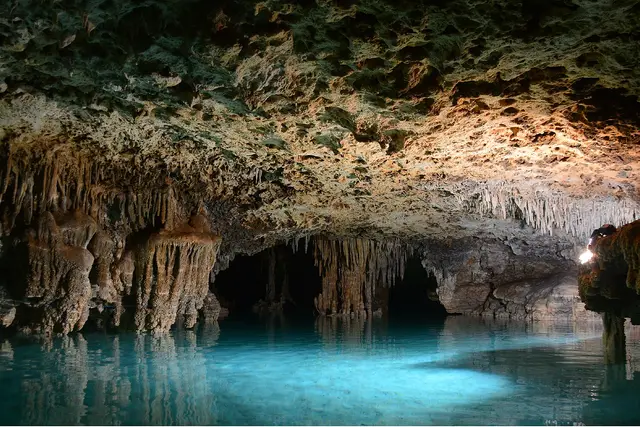 hidden gem
 Río Secreto: Playa del Carmen Travel Guide (4.7★)
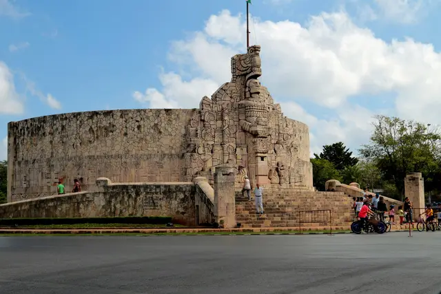 attraction
 Monumento a La Patria: Merida Travel Guide (4.8★)
 attraction