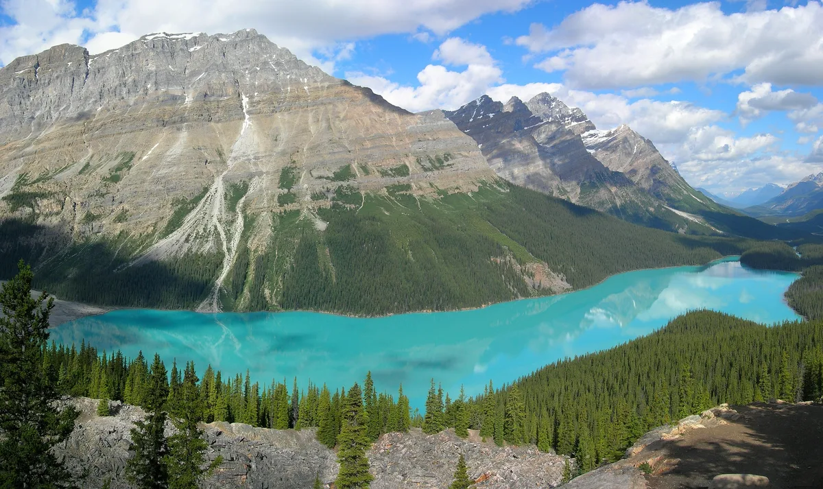
A wolf’s head in glacial blue
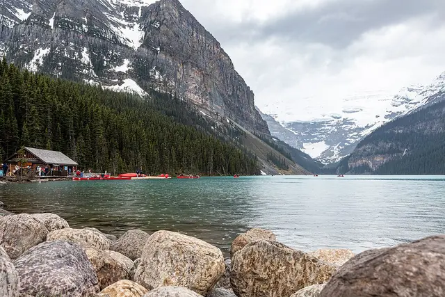
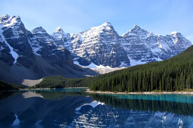
From the platform, the whole valley drops away below you. Peyto Lake lies far down in a cradle of spruce. Its milky turquoise water has a shape people compare to a wolf’s head, with the snout pointing up the valley toward Peyto Glacier.
The colour comes from rock flour: fine silt the glacier grinds off the mountains and carries down in meltwater. The silt hangs in the water and scatters light, which is why the lake looks almost opaque from above. The lake and glacier are named after Bill Peyto, one of the early outfitters and guides in the Banff backcountry.
Up the Icefields Parkway to Bow Summit
The viewpoint is off Highway 93 North, the Icefields Parkway. Head north from the Trans-Canada junction near Lake Louise and watch for the Bow Summit and Peyto Lake signs. Bow Summit is the highest point on the parkway, a little over 2,000 metres, so expect cooler air than in the village.
- Drive time: about 40 minutes from Lake Louise, about 1.5 hours from Banff town.
- Park pass: you need a valid Parks Canada pass on the Icefields Parkway. Current prices are on the Parks Canada website.
- Fuel and signal: there’s no fuel and little mobile coverage on this part of the road. Fill up in Lake Louise.
From the car park to the railing
Most visitors leave the car in the main Bow Summit lot and walk a paved path uphill through subalpine forest. It’s short, roughly 10–15 minutes, but steady. At this altitude you may notice it in your breath.
The path opens onto a wide viewing platform built out over the slope. Expect to spend 30–45 minutes taking it in. If you want more, informal trails lead higher along the ridge for wider views over the Mistaya Valley. Stick to marked routes, because alpine meadow here recovers very slowly once trampled.
Getting the platform to yourself
The car park is always open, but the people show up on a pattern. Day tours from Banff and Lake Louise tend to reach Bow Summit through the middle of the day. Arriving soon after sunrise or in the early evening usually means fewer elbows at the railing. In summer that is also when the low light picks out the ridgelines.
- Arrive early or late. The lot is small for how many people stop here, so a mid-morning arrival can mean circling for a space.
- Don’t block the front. People step up to the rail, take their photos and move back. Do the same rather than setting up a tripod right at the front.
- Keep the drone packed. Flying drones is prohibited in Canada’s national parks without a permit.
- Leave wildlife alone. Grizzly and black bears live along the parkway. Stay in your car if you see one by the road, and carry bear spray if you go past the platform.
- Pack layers. It’s often several degrees colder at Bow Summit than at the lake, even in July.
Which months for which colour
The lake is usually frozen and snow-covered until late spring. It typically thaws in June, but the colour is often muted at first. Glacial melt peaks in July and August, and that’s when the famous blue is strongest.
September brings golden larches on the higher slopes and thinner crowds, though early snow is possible. In winter the parkway stays open, but conditions change fast. The viewpoint path isn’t maintained as a summer trail then, so snowshoes or traction help. Check Parks Canada for current road and trail reports before you set out.
Stops along the same stretch
Peyto Lake fits neatly into a parkway day, and a few other stops sit close by:
- Bow Lake: a few minutes south, with the red-roofed Num-Ti-Jah Lodge on its shore and Bow Glacier above.
- Crowfoot Glacier viewpoint: a roadside pullout just south of Bow Lake.
- Waterfowl Lakes: north of Bow Summit, with Mount Chephren reflected in the water.
- Mistaya Canyon: further north again, a short walk down to a narrow, water-carved limestone gorge.
Pair Peyto with Bow Lake on the way up and Mistaya Canyon at the turnaround. That makes an easy half day out of Lake Louise.
Frequently asked questions
How do I get to Peyto Lake Viewpoint from Lake Louise?
Drive north on the Icefields Parkway (Highway 93 North) for about 40 minutes to the Bow Summit turn-off, which is signed for Peyto Lake. You need a valid Parks Canada pass. Fill your tank in Lake Louise, because there's no fuel and little mobile signal on this stretch.
How long is the walk from the parking lot?
From the main Bow Summit lot it's a short paved uphill walk of roughly 10–15 minutes to the viewing platform. Plan 30–45 minutes in total, or longer if you continue on the trails higher up the ridge.
When is the best time to see the turquoise colour?
July and August, when glacial meltwater carrying rock flour is at its peak. In June the lake may still be partly frozen or a duller colour. September is quieter, with golden larches.
How do I avoid the crowds?
Day tours tend to arrive through the middle of the day, so come early in the morning or in the early evening. The parking lot is small for how many people visit, and arriving at those times also makes a space easier to find.
What else is nearby?
Bow Lake and Num-Ti-Jah Lodge are a few minutes south, with the Crowfoot Glacier viewpoint just beyond. To the north are Waterfowl Lakes and Mistaya Canyon, both easy stops on the same drive.
Plan your trip to Lake Louise
Canada eSIM & staying connected →
Some links above are affiliate links — if you book through them, Wander Atlas earns a small commission at no extra cost to you. It's how we keep every guide free.