
Stripes at five thousand metres
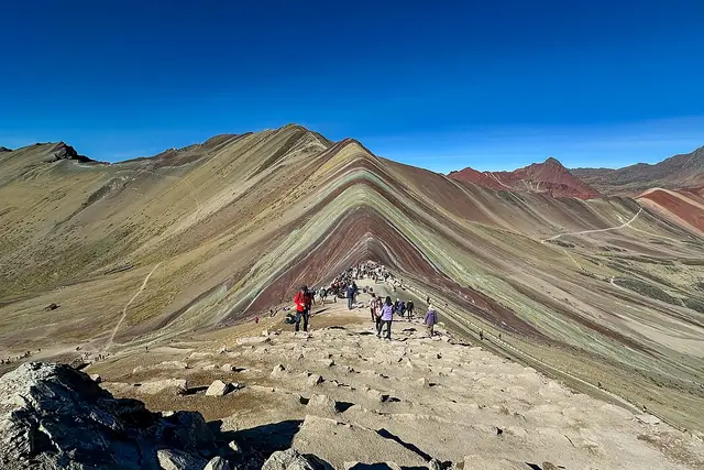
The ridge looks painted. Bands of rust red, ochre, lavender and mineral green run diagonally down the slope. Each colour comes from a different sediment: iron oxides give the reds, goethite the mustard yellows, and chlorite the greens.
Vinicunca sits in the Pitumarca district of Cusco’s Quispicanchi province, close to the glaciated bulk of Ausangate. For decades snow and ice covered it. Visitor numbers only took off in the mid-2010s, after the ice retreated and photos spread online.
The main viewpoint is usually given at around 5,000–5,200 metres. That is higher than any point on the Inca Trail, and the thin air is what shapes the whole day.
The road from Cusco
Most visitors come on an organised day tour from Cusco. Pickups run before dawn, around 4am, and the drive takes about three hours. Breakfast is usually in a village on the way.
- Trailhead: most tours now use the Kayrawiri parking area, which shortens the walk compared with the older Quesiuno route.
- Hike: allow roughly 1.5–2 hours up and a little less down, on a dirt track that gets steeper near the top.
- Viewpoint: a short, sharp final climb brings you to the ridge facing the stripes. Red Valley (Valle Rojo) is a short detour behind it and is often quieter.
- Total day: you get back to Cusco by late afternoon or early evening.
If the altitude worries you, Palccoyo is a lower alternative with a much gentler walk. It is another striped range in the same region.
Breathing, weather and what to carry
Altitude is the real risk here. Spend at least two or three nights in Cusco or the Sacred Valley before you go. Walk slowly from the first step, and turn back if a headache gets worse or you feel confused.
From May to September the skies are usually clear and the colours are sharpest. Between December and March, rain and snow can grey out or completely cover the stripes. Mornings are below freezing in any month, and the sun is fierce by midday.
- Layers, a warm hat and gloves
- High-factor sunscreen and sunglasses
- Water and snacks, since there are only a few stalls near the trailhead
- Coca sweets or leaves, which are sold locally for altitude
On the community’s land
Vinicunca is managed by local Quechua communities, and they run the access. Your entrance fee is collected at a checkpoint on the road. Tour prices often leave it out, so check the current amount with your operator and carry Peruvian soles in cash, as cards are rarely accepted on the mountain.
Along the trail, community members rent horses that are led by hand. Agree on the price and how far the horse goes before you get on. Most horses stop below the final steep section, so you walk that part anyway.
Women in traditional dress often stand with alpacas near the top and ask for a tip in exchange for a photo. Ask first, and pay what you agreed. Stay on the marked paths. The ridge soil erodes easily, and walking off-trail is discouraged.
Leaving early pays off: groups starting before dawn reach the ridge before the mid-morning wave of hikers arrives.
Frequently asked questions
How do I get to Vinicunca from Cusco?
Most people book a day tour that picks up in Cusco around 4am. The drive to the Kayrawiri trailhead takes about three hours, and you get back by late afternoon or early evening.
When is the best time to visit Rainbow Mountain?
Go in the dry season, May to September, when skies are usually clear. From December to March, rain and snow can hide the coloured bands.
How hard is the hike?
The trail itself is only moderately steep, but the viewpoint is above 5,000 metres. Allow 1.5–2 hours to walk up, and acclimatise in Cusco for two or three days first.
Can I ride a horse instead of walking?
Yes. Local community members rent led horses along the trail. Agree the price and the distance first, and expect to walk the final steep stretch yourself.
Is there a less crowded alternative?
Red Valley, just behind the main viewpoint, is often quieter. Palccoyo is a separate striped range nearby with a lower, easier walk.
Plan your trip to Vinicunca
Peru eSIM & staying connected →
Some links above are affiliate links — if you book through them, Wander Atlas earns a small commission at no extra cost to you. It's how we keep every guide free.
Related guides
 attraction
Vinicunca Rainbow Mountain: Cusco Travel Guide (4.8★)
 attraction
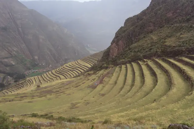
Parque Arqueológico: Pisac Travel Guide (4.8★)
 attraction
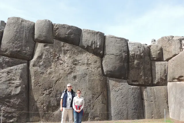
Saqsaywaman: Cusco Travel Guide (4.7★)
 attraction