Lines in the dirt, seen from the ground
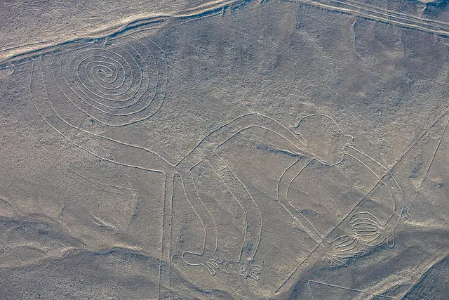
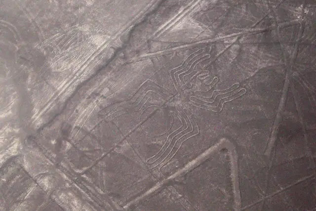
Most visitors only see the Nazca geoglyphs from a light aircraft window. At Mirador El Telar you stand on firm ground and look down. The desert floor here is a pale mix of sand and dark, sun-varnished stones. The ancient Nazca people made their lines by clearing those stones aside to expose the lighter earth underneath.
The name means “the loom.” The figure it refers to is geometric rather than an animal. Think parallel strokes and angles, the kind of pattern you might see woven into a textile. Don’t expect a hummingbird. Expect quiet, patient geometry that makes more sense the longer you look at it.
Finding it on the edge of Nazca
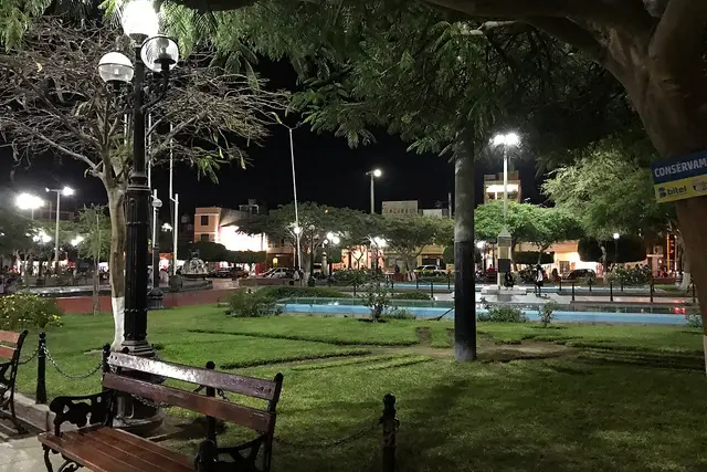
The viewpoint sits outside Nazca town, out where the streets give way to bare pampa and farm plots. The registered address is the plus code 536M+74W, Nazca 11400. Paste that into a maps app and you will get closer than any written directions could.
Few people make the trip, so you won’t find tour buses or signs pointing the way from the Plaza de Armas. The simplest way to get there is by taxi or mototaxi from the centre. Settle the fare before you set off, and arrange for the driver to wait or come back for you. Flagging a ride out here is not realistic.
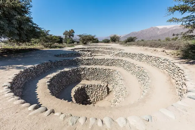
Many drivers know this area as part of the Cantalloc circuit. That’s where the Nazca built the spiralling stone puquios (wells) to reach groundwater. Asking for both stops in one trip is the efficient way to do it.
Light, heat and when to go
Timing decides what you see. Under harsh midday sun the cleared lines wash out to almost nothing against the pale ground. When the sun is low, early or late in the day, each slight edge throws a shadow and the shapes become clear.
The heat matters too. Nazca is coastal desert with almost no rain, and the viewpoint has little or nothing in the way of shade. Bring:
- Water, more than you think you need
- A hat and sunglasses
- A light layer, because mornings and evenings can be cool and windy
- A zoom lens or binoculars if you have them
No opening hours are published for this viewpoint. Check locally, or with your driver, before you head out, especially if you’re aiming for the last light.

Standing above protected ground
Here the rules actually matter. The Nazca Lines have been a UNESCO World Heritage Site since 1994, and the lines can’t heal. A single footprint or tyre track on the pampa can last for decades in this dry climate. Stay on the viewpoint and the approach path. Never step down onto the desert surface for a closer photo.
A few habits will make the visit go smoothly:
- Pay in soles, in cash. Mototaxi and taxi drivers in Nazca rarely take cards. Small notes make settling up easier.
- Ask before you fly a drone. Drone flights over the lines are restricted. Assume no unless an official tells you otherwise.
- Learn the words. Mirador means viewpoint, líneas means lines, and ¿me espera, por favor? asks your driver to wait.
- Carry your rubbish out. There is no bin service out here.
Because the viewpoint is so quiet, nobody will remind you of any of this. It comes down to how you behave.
Why it earns a stop
El Telar is low on most visitors’ lists, and that’s its strength. At the busier viewpoints you wait your turn on a metal staircase. Here you’ll often have the view to yourself, with the town’s outskirts behind you and nothing but desert ahead.
It’s also a useful reality check. From a plane the figures look tidy and graphic. From the ground you can see the stones heaped along the edges and how shallow the cuts really are. You also see how flat the terrain is, and that makes the scale of the whole project easier to grasp.
Building a morning around it
A half day covers El Telar comfortably. Start early at the viewpoint while the light is still raking. Then continue to the Cantalloc aqueducts, where you can walk around the spiral puquios, which are still carrying water.
If you haven’t flown yet, overflights leave from the María Reiche Neuman aerodrome just outside town. Seeing the lines from the ground first gives the aerial view more meaning. Later in the day, the metal viewing tower on the Panamericana Sur north of town looks over the Hands and the Tree. The Maria Reiche museum along the same road tells the story of the German mathematician who spent decades mapping and protecting these lines.
Frequently asked questions
How do I get to Mirador El Telar from Nazca town?
Take a taxi or mototaxi from the centre and give the driver the plus code 536M+74W. Agree the fare first and ask the driver to wait. There is no public transport out there and you can't flag down a ride.
What is the best time of day to visit?
Early morning or late afternoon. Low sun throws shadows along the cleared lines and makes them visible. At midday they blend into the pale desert, and the heat is hard going because there is little or no shade.
How long should I spend there?
20–40 minutes at the viewpoint is usually enough. Make it a half-day trip by adding the Cantalloc aqueducts nearby.
Can I walk down onto the lines for photos?
No. The Nazca Lines are a protected UNESCO World Heritage Site, and footprints on the pampa last for decades. Stay on the viewpoint and the access path, and bring a zoom lens or binoculars instead.
Is it worth visiting if I'm already doing a Nazca Lines flight?
Yes. From the ground you see how the lines were made, with stones cleared aside to expose lighter earth. The viewpoint is also quiet, which the busier roadside towers are not.
Plan your trip to Nazca
Peru eSIM & staying connected →
Some links above are affiliate links — if you book through them, Wander Atlas earns a small commission at no extra cost to you. It's how we keep every guide free.