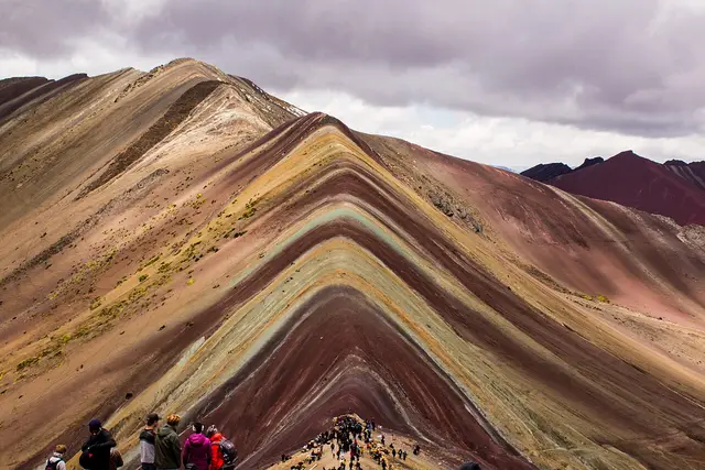
Over the shoulder of Rainbow Mountain, the stripes stop and the ground turns the colour of brick dust. Red Valley drops away below you, a whole basin of oxidised red slopes cut by thin green streams. Most people who reach Vinicunca turn around at the viewpoint and never see it.
That makes it one of the better rewards in the Cusco highlands for anyone with a little breath left. Visitors who make the detour rate it very highly, but they are still few. Here is how to get there and what to expect.
What turns a valley red
It comes down to iron. The colours across the Vinicunca area come from mineral-rich sediments, and the iron oxides here turn the hillsides deep red and maroon. On Rainbow Mountain those layers sit in bands of yellow, green and lavender. In Red Valley the red takes over almost everything.
The terrain is high puna grassland:
- Tufts of ichu grass where the soil holds water
- Bare, crumbly red earth on the steeper slopes
- Grazing alpacas and llamas belonging to the herding families
- On clear days, the white bulk of Ausangate glacier to the southeast
Nothing grows taller than your knee. The scale comes from the empty hills, not the plants.
The ridge between the rainbow and the red
This detour is what separates Red Valley from a normal day trip. You don’t reach it from a separate road. You get there by continuing past the main Vinicunca viewpoint along a ridgeline path, which climbs slightly and then looks down into the basin.
That ridge sits at about 5,000 metres. It is above the summit viewpoint most tour groups treat as their high point. The ground is loose and often windy, and in places the path is just a worn line in the scree.
Some agencies sell a “Rainbow Mountain plus Red Valley” option. It adds a loop down toward the valley floor and back to the trailhead, so you don’t have to retrace the busy main route. Ask before booking whether your tour includes the descent or only the viewpoint on the ridge.
Getting to Vinicunca from Cusco
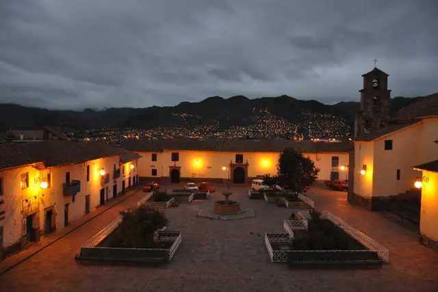
The trip starts in the dark. Day tours usually leave Cusco around the small hours and drive southeast for about three hours. The route runs through the Vilcanota valley toward Checacupe and the Pitumarca area, then climbs on unpaved roads to the trailhead parking zone near Quesiuno.
The address on record, Uchullujllo, belongs to the local communities that manage the land here. You won’t find a town at the trailhead. Expect a dirt lot, toilets run by the community and a few stalls.
Getting there independently is possible but awkward. Colectivos run from Cusco toward Checacupe, but transport onward up the mountain is unreliable. For most visitors a tour is the practical choice.
Altitude, honestly
The altitude is the main challenge here, and it catches out fit people. The trailhead already sits above 4,500 metres, and the Red Valley ridge is higher still. At that height, a walk that would be gentle at sea level feels like a hard climb.
Before you attempt it:
- Spend at least two or three nights in Cusco or the Sacred Valley first
- Drink plenty of water and go easy on alcohol the night before
- Walk slowly from the very first step, not just when you start to struggle
- Turn back if you get a worsening headache, confusion or breathlessness at rest
Horses with handlers wait at the trailhead for the main climb. They can save your legs, but they won’t protect you from altitude sickness.
Paying the community and sharing the trail
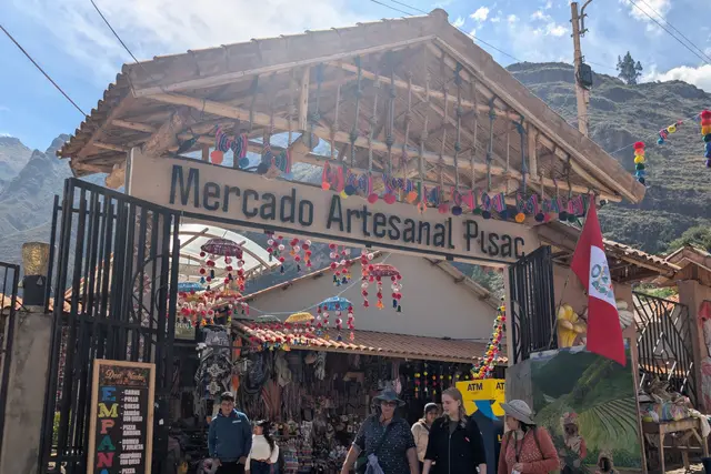
The trail crosses land owned by local communities, and they collect an entrance fee at a checkpoint on the approach road. Tours sometimes include it and sometimes don’t, so check what your booking covers. The current amount is posted at the checkpoint. Bring Peruvian soles in small notes, because there is no card machine up here.
Horse handlers, toilet attendants and snack sellers are paid in cash too. A few habits will make the day go better:
- Ask before you photograph herders or their animals. Some expect a small tip for the picture.
- Stay on the worn path. The red soil erodes quickly, and new shortcuts scar the slope.
- Give pack animals the uphill side when they pass on narrow sections.
- Take your rubbish back down. The bins at the trailhead are a long haul away from anywhere.
When the colours show
The dry season, roughly May to September, brings clear mornings and the strongest reds. The trade-off is hard frost before sunrise and cold wind on the ridge. From December to March the rains often bring cloud, mud and sometimes snow. A dusting of snow can cover the colours completely.
Light matters as much as the season. The valley looks most saturated after rain or under even cloud. Harsh midday sun can wash it out. Most tours reach the trailhead mid-morning, so groups that leave Cusco earliest usually get the ridge with fewer people on it.
Packing for a day above 5,000 metres
Most problems come from the cold, the sun and running low on energy. Dress in layers you can strip off on the climb and pull back on at the windy top.
- Warm hat, gloves and a windproof shell
- High-factor sunscreen and sunglasses, because the UV at this altitude is fierce
- More water than you think you need, plus snacks
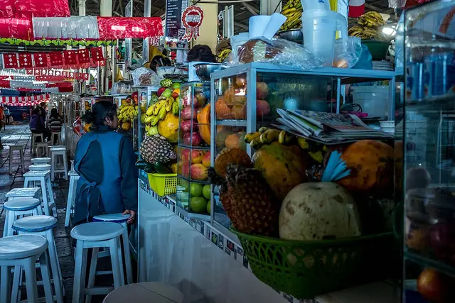
- Coca sweets or tea if you use them, sold in Cusco
- Trekking poles for the loose descent off the ridge
Plan on a full day: around 12 to 14 hours from your hotel and back, with three to five hours of that on foot depending on the loop you choose.
Frequently asked questions
How do I get to Red Valley from Rainbow Mountain?
Carry on past the main Vinicunca viewpoint along the ridgeline path. It climbs a little to around 5,000 metres and then looks down into the red basin. Some tours also loop down through the valley and back to the trailhead, so ask whether yours includes that descent.
What is the best time of year to visit Red Valley?
The dry season, roughly May to September, gives the clearest skies and the strongest colours. From December to March, rain, cloud and occasional snow can hide the reds.
How long does the Red Valley trip take?
Plan a full day from Cusco, about 12 to 14 hours in total. That includes a drive of about three hours each way and three to five hours of walking, depending on whether you only go to the ridge or do the full valley loop.
Is the altitude dangerous?
It is the main risk. The trailhead is above 4,500 metres and the ridge is around 5,000. Acclimatise in Cusco or the Sacred Valley for a few days first, walk slowly, and turn back if you get a worsening headache or feel breathless at rest.
Do I need cash?
Yes. The community entrance fee, horse hire, toilets and snacks are all paid in Peruvian soles. The current entrance fee is posted at the checkpoint on the approach road.
Plan your trip to Vinicunca
Peru eSIM & staying connected →
Some links above are affiliate links — if you book through them, Wander Atlas earns a small commission at no extra cost to you. It's how we keep every guide free.